Isle Royale National Park 3D Wooden Map
ADD PERSONALIZATIONS (Optional, FREE)
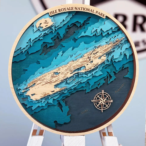
Handcrafted 3D Wooden Map of Isle Royale
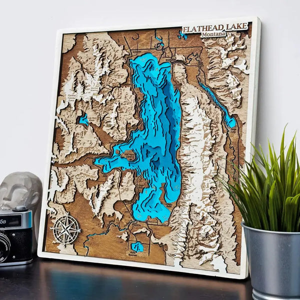
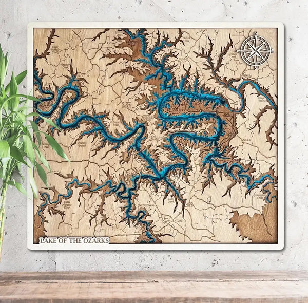
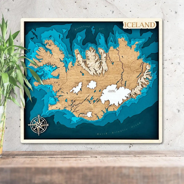
Capture the quiet wilderness of Isle Royale National Park with a layered wooden map that reveals the island’s rugged shoreline and the deep waters of Lake Superior. Precision laser‑cut contours are stacked to create a true 3D relief; channels, coves, and inlets read clearly from across the room. This piece blends cartography and craftsmanship, turning your wall into a memory of hikes, paddles, and ferry rides to Michigan’s most remote national park.
Materials & Finish
We use premium birch for crisp edges and stable layers. Warm land tones contrast with cool water strata so depth is immediately visible, while a hand‑rubbed finish keeps the surface elegant and durable. The map is lightweight and ready to hang—perfect for cabins, modern living rooms, or a home office that needs a subtle nod to the outdoors.
Sizes, Shapes, Personalization
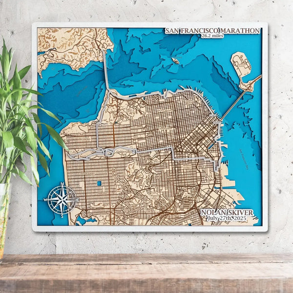
Choose Rectangle or Circle, from compact 11.5″ × 10″ to statement 30″ × 26″. Add coordinates, a date, or a short inscription to turn the artwork into a keepsake. Whether you’re commemorating a camping trip, a ranger season, or a family adventure, the map anchors that story with tactile detail.
A Gift with Meaning
For hikers, kayakers, and boaters, this Isle Royale wood map feels personal—far more distinctive than a print. It also resonates with collectors searching for Michigan lake depth décor or unique nautical wood charts to complement their lake‑house style.
Pair Isle Royale with the Lake Superior Map or the Great Lakes Wooden Map.
KEY FEATURES
READY TO SHIP WITHIN 5 DAYS
DRAFT FOR APPROVAL IN 1 DAY FOR CUSTOM ORDERS
(sent via email)
WALL HOOK INCLUDED
(on the backside)

